For the third time in a month, Delhi-NCR residents felt tremors after a 6.4 magnitude quake jolted Nepal. But why is the national capital experiencing tremors so frequently? Read on.

An earthquake with a magnitude of 6.4 struck Nepal on Friday night, causing vibrations and sending inhabitants of Delhi and the neighbouring territories running out of their houses in fear. This was Delhi’s third earthquake in a month, and speculation about why the nation’s capital has been having these kinds of events has increased.
The Bureau of Indian Standards (BIS) seismic zoning map places Delhi and the National Capital Region (NCR) in Seismic Zone-IV, which is regarded as a high seismic risk zone. A higher probability of moderate to high-intensity earthquakes is indicated by Zone IV.
Why Does Delhi Come under Zone-Iv and is Vulnerable to Frequent Tremors?
This categorisation is mainly due to Delhi’s geographical position and geological activities. The national capital is situated in close proximity to the Himalayan ranges, roughly between 200-300 kilometres. The Himalayas were formed due to the continual collision of the Indian and Eurasian tectonic plates. This constant tectonic activity results in regular tremors, making the region an epicentre for recurring natural calamities like earthquakes and landslides.
Tremors are normally caused by the movement of tectonic plates in the uppermost layer of the earth’s crust. Hence the more activities in this layer, the more the chances of an earthquake.
The proximity of the location to the Himalayan tectonic plate boundary, where the Indian and Eurasian plates meet, is the primary cause of the seismic danger in the area. Significant seismic activity has been caused by the impact in northern India, which includes Delhi and its surrounding areas. Delhi is in an earthquake-prone area because of its closeness to the Himalayas, even though the city is not on a major fault line.
Therefore, Nepal, Uttarakhand, and the Himalayan region that borders them are vulnerable to a catastrophic earthquake that registers above an intensity of 8.5 on the Richter Scale. Delhi is classified as high risk Zone IV, whereas the Himalayan region is classified as Zone V due to its close proximity to the Himalayas.
Unique settlement pattern
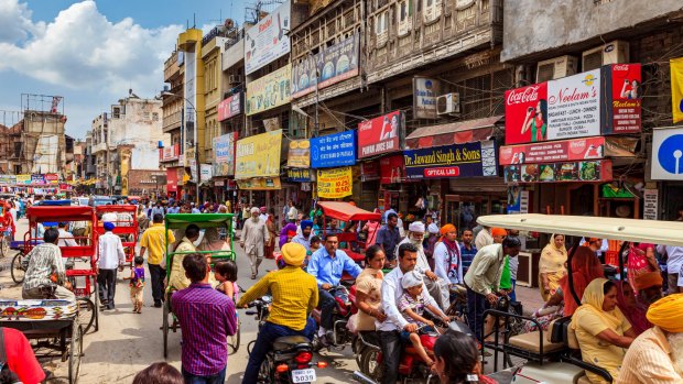
Aside from geological factors, the unique settlement pattern of Delhi and NCR contributes to the vulnerability. The region is characterised by vast high-rise constructions and sprawling informal settlements. Areas along the banks of the Yamuna and Hindon rivers, where numerous multi-story buildings are located, reside in the most seismic-prone zones. Even sections of Old Delhi and unauthorised colonies on the riverbanks add to this vulnerability.
Experts have warned about the potential for a significant earthquake in the region in the future. The consequences of a major earthquake in Delhi could be severe, given the densely populated urban area, ageing infrastructure, and inadequate building standards in some parts of the national capital.
It’s crucial to remember, though, that earthquakes are intricate and challenging to accurately forecast. The precise date and magnitude of future earthquakes are still unknown, despite the fact that specialists may evaluate the seismic hazard in a location and offer warnings and advice.
To reduce the dangers associated with seismic activity, the government and local authorities have been striving to update building regulations, upgrade vital infrastructure, and increase earthquake preparation.
